


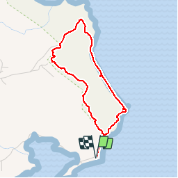


3.9 km | 4.7 km-effort


User GUIDE


FREE GPS app for hiking
 SityTrail
IGN / Geographical institutes
SityTrail World
The world is yours!
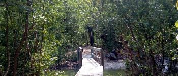
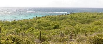
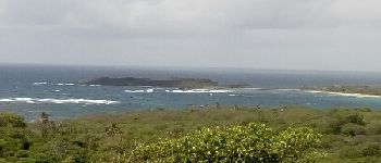
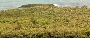
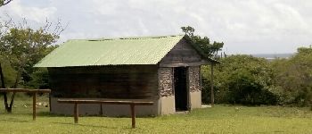
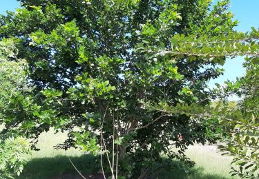
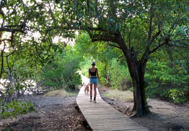
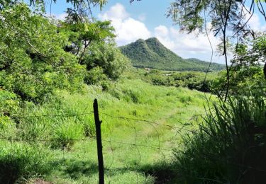
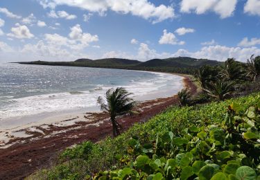
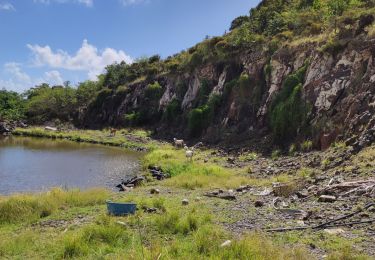
Trail Walking of 5 km to be discovered at Martinique, Unknown, Le Marin. This trail is proposed by GabyG.
Eviter les périodes de grosse chaleur: Juillet à Octobre.


Walking
Walking

Mountain bike
Walking
Walking
Walking

Walking

Walking
belle randonnée